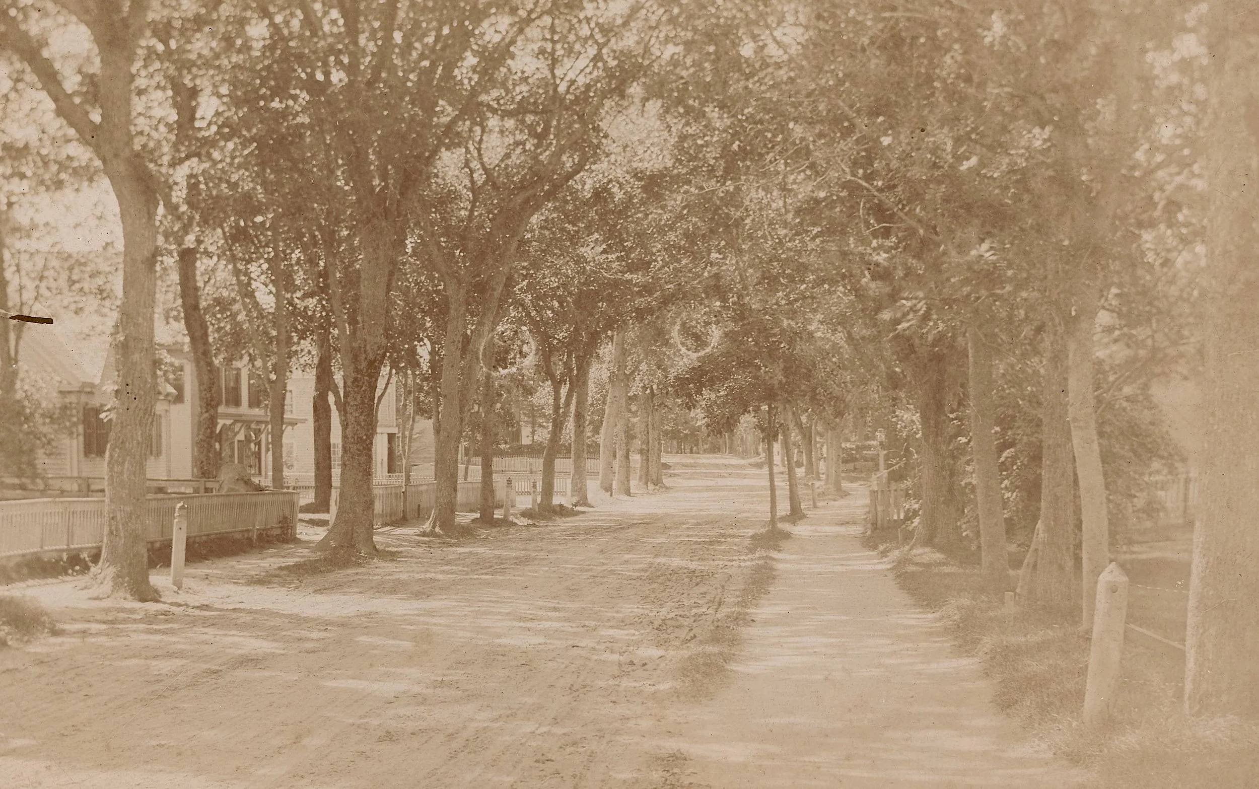

Lot Hall was a Yarmouth native, born in 1757 to Lot Hall, Sr. and Hannah (Doane) Hall. He could trace his ancestors back to the emigrant John Hall who arrived from England in 1630 and became a resident of Yarmouth in 1653, where the Hall family remained for many generations. The town was a pleasant place to grow up; the local school taught reading, writing, and “cyphers,” and according to a family account, Lot had a good education. He and his brothers, as well as friends from long-established local families, responded to the call for the nation’s independence when it came.
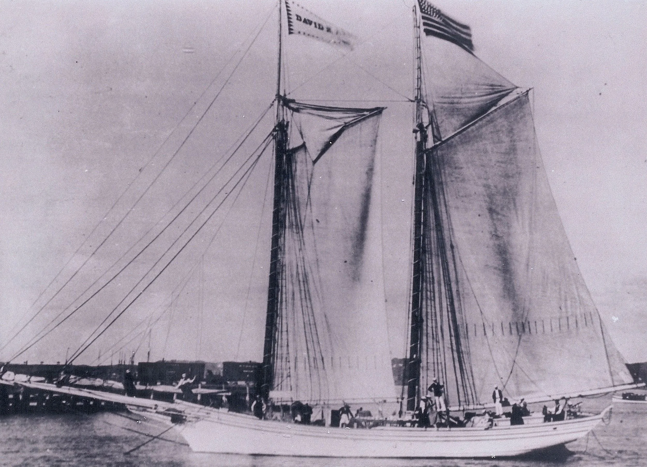
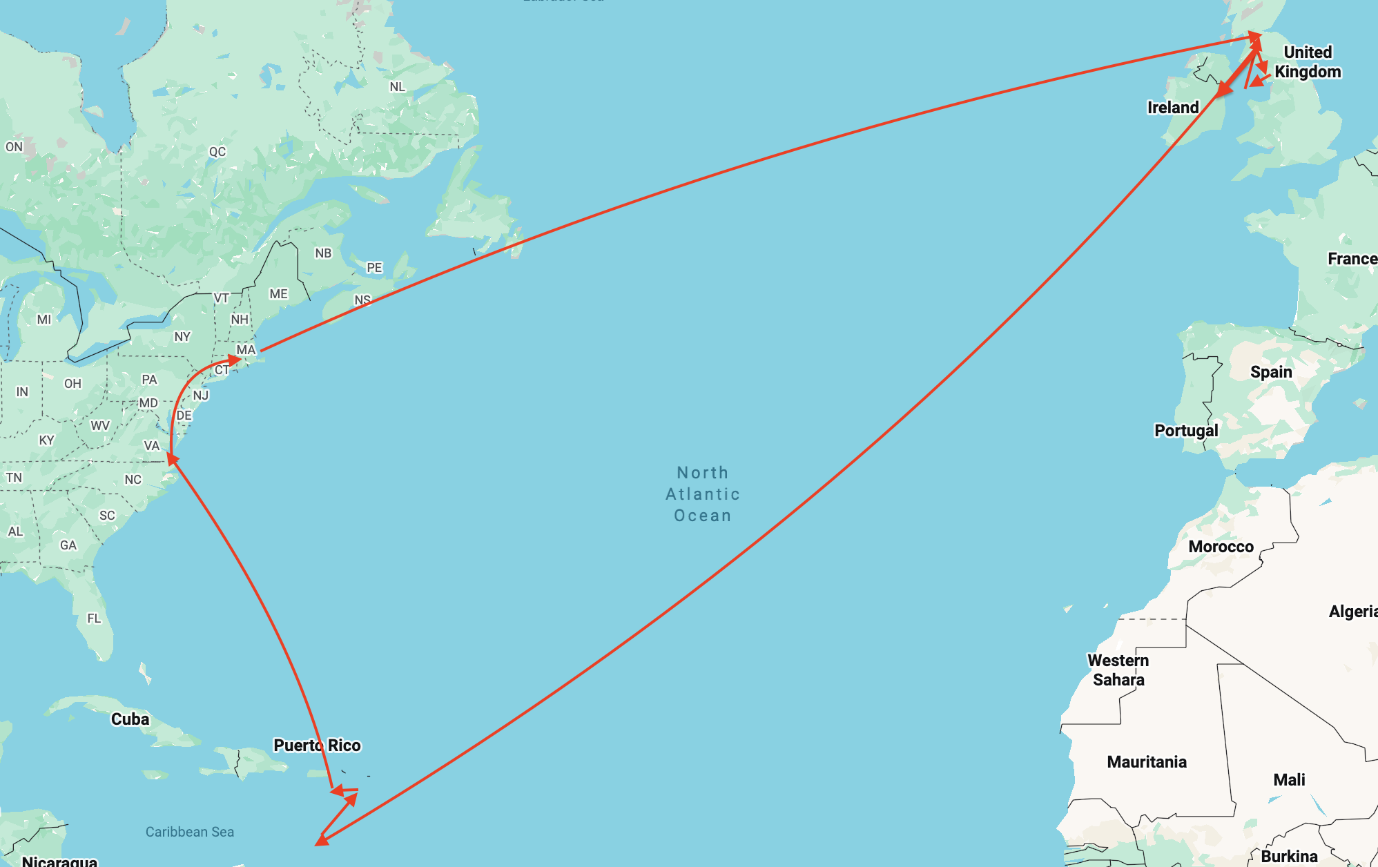
At nineteen, in the spring of 1776, Lot became a Continental Navy marine lieutenant in the Revolutionary War. Perhaps, to receive this rank, he had already been to sea as sailor, as so many Yarmouth boys did. After a brief but successful stint of sea duty on board the 20-gun ship Randolph capturing British merchant ships, the captured British sailors on the ship Spears, which Hall was bringing in to Boston, mutinied and overpowered the crew in September 1776. They took the ship to Newfoundland to reprovision, then sailed on to Glasgow. Lot was held prisoner in Glasgow, Scotland until April 5, 1777, when he was released to find his own way home via an amazingly circuitous route.
Lot travelled to the Isle of Man, then to Whitehaven, England on the west coast, and then back to Glasgow when he was unable to find a vessel to take him to France or across the Atlantic. He then set out for Ireland where he spent a few months among “people very kind and civil as well as warmly attached to the American cause…..they provided for me in a genteel manner.” That August he found passage on a ship to the West Indies, arriving in Barbados in October. From there he travelled to Antigua and then to the Dutch island of Sint Eustatius, where in December he sailed on a merchant ship bound for Virginia.
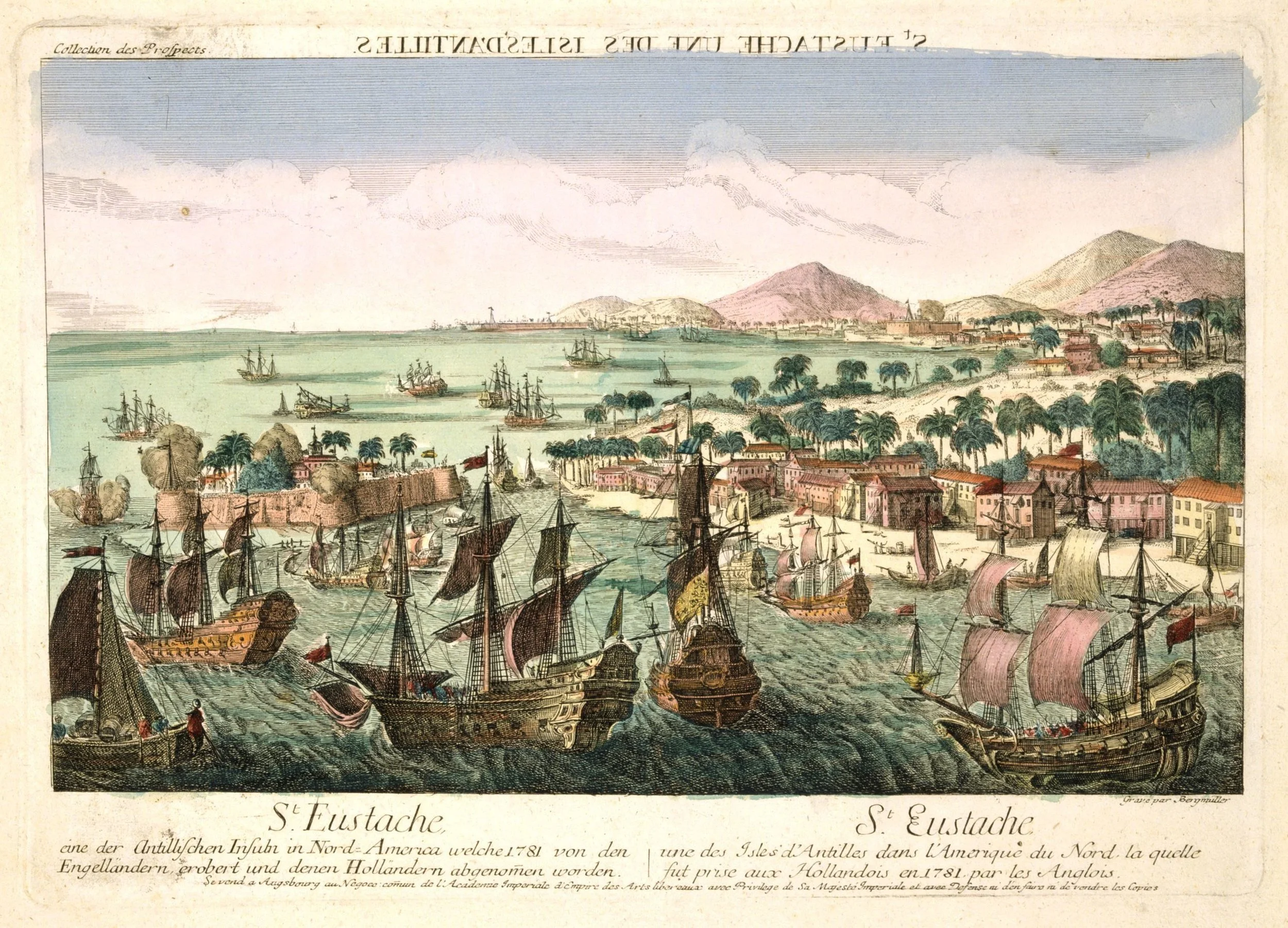
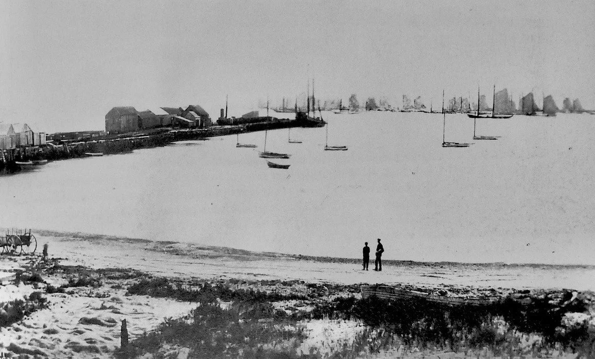
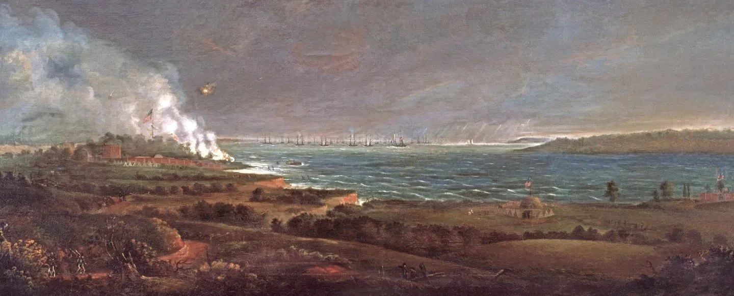
Sint Eustatius harbor, 1781.
It was there on December 28, 1777, near Hampton Roads at the entrance to Chesapeake Bay, that Hall was again taken prisoner, this time by the HMS St. Albans, a British man-of-war. Good fortune, however, intervened in the person of Virginia Governor Patrick Henry who arranged Hall’s release within ten days via a prisoner exchange. Once freed, Hall "waited on his excellency in person,” relating the full story of his odyssey to the governor. Henry was apparently so impressed that he provided Hall with a horse and money to return to Yarmouth, so Lot set out, arriving February 22, 1778, almost twenty-two months since leaving to join the Continental Navy. In late January 1778, during his horseback ride home, the intrepid young man asked the Continental Congress for another naval assignment when he stopped in York, Pennsylvania, where the legislators had taken refuge from British troops which had occupied Philadelphia.
Military records indicate that Lot served two more stints as a prize master -- in 1779 aboard the General Putnam and again in 1780 aboard the Essex. Lot was once again involved in battling the enemy on the seas, risking capture again at a time when it was well known among American sailors that imprisonment in the notorious British military jail system in the New York City area was an almost certain death sentence.
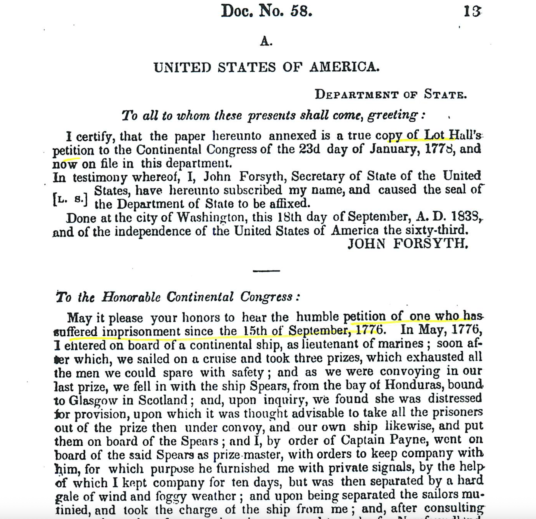
An excerpt from Lot Hall’s January 23, 1778 report to the Continental Congress describing his captivity and nomadic journey back to the United States
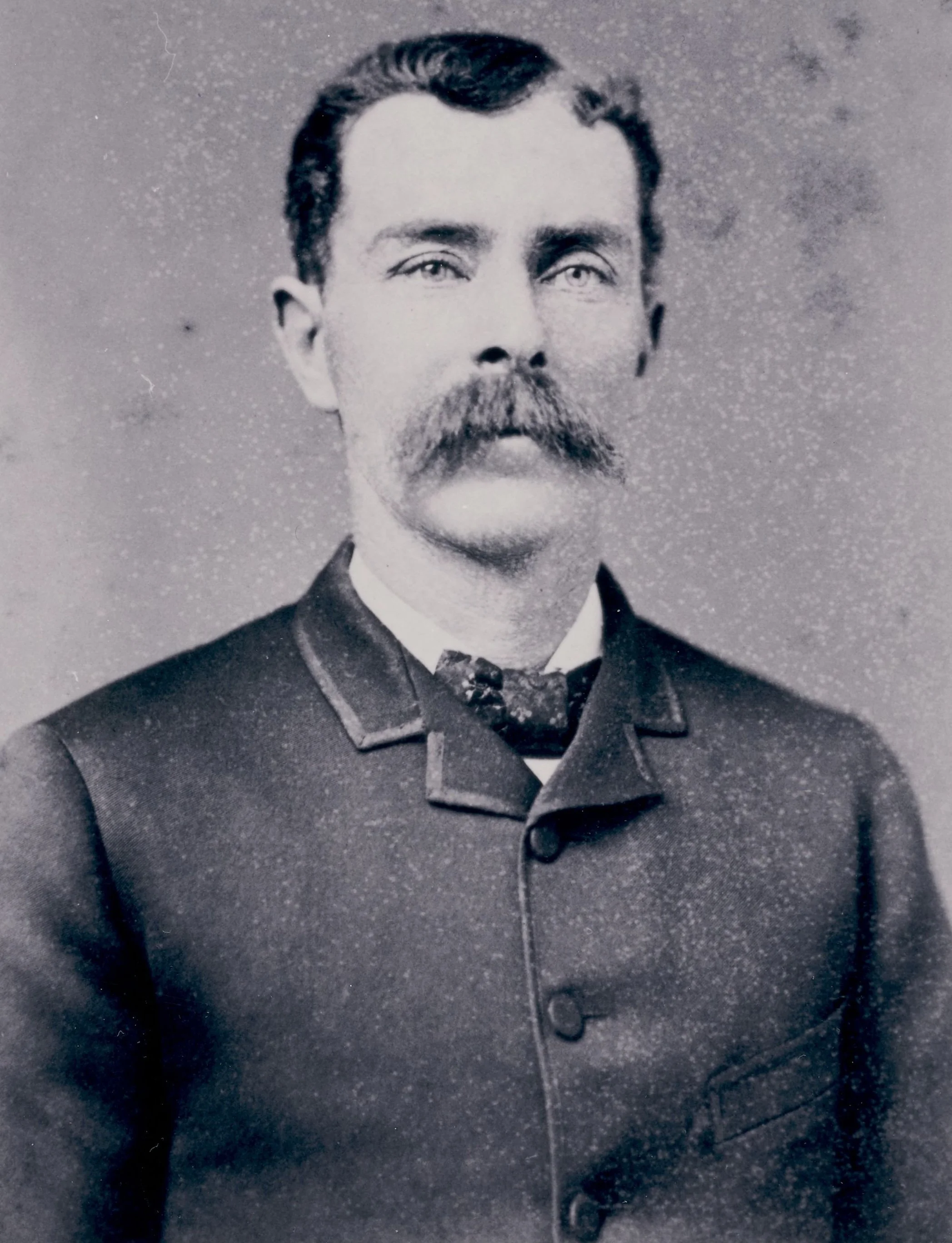
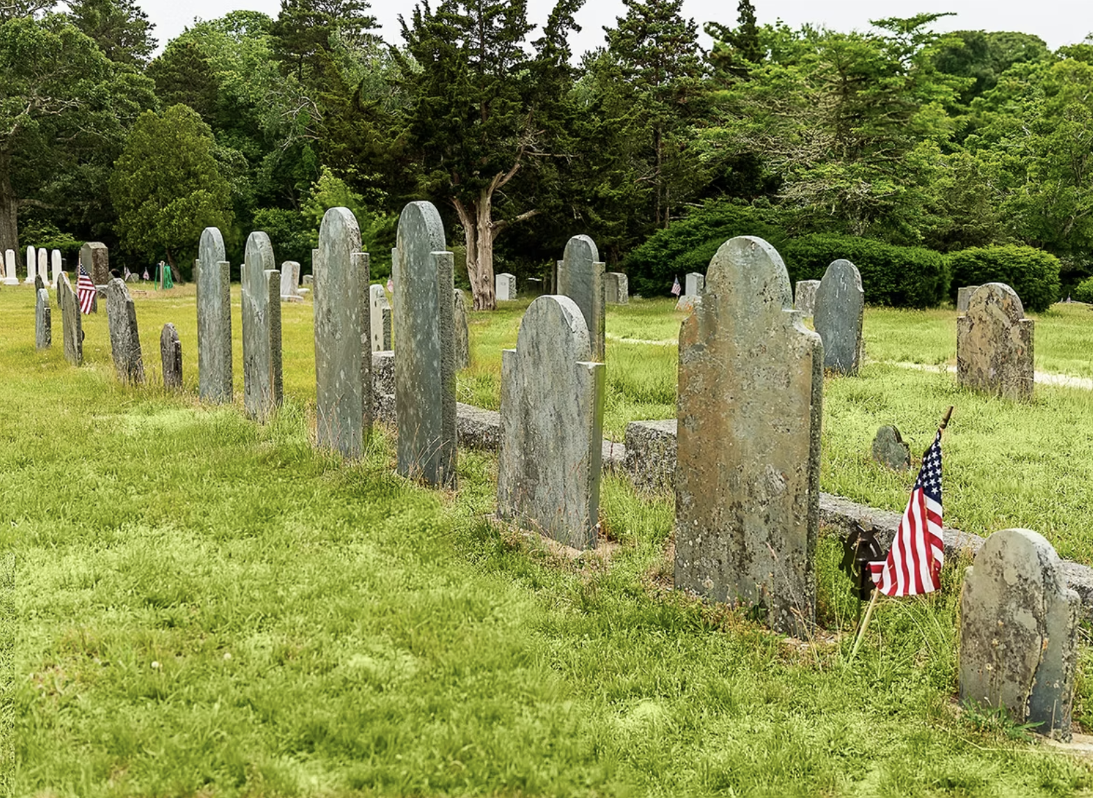
Leaving behind his life on the sea, Lot chose to study law in Barnstable from 1781 to 1782 where he interned in the office of Shearjashub Bourne before moving to Bennington, Vermont. He married Mary Homer in 1786 and together they had five children. He served as a lawyer and later a judge and was highly respected in his community. After his death in 1808, Mary filed for and received a widow’s pension based Lot’s Revolutionary War naval service. The two are buried together in Westminster, Vermont.
Excerpted from accounts researched and written by John Duggan and Dorothy Robinson, who encourage any Hall family descendants with further information on Lot, to please contact us at info@hsoy.org
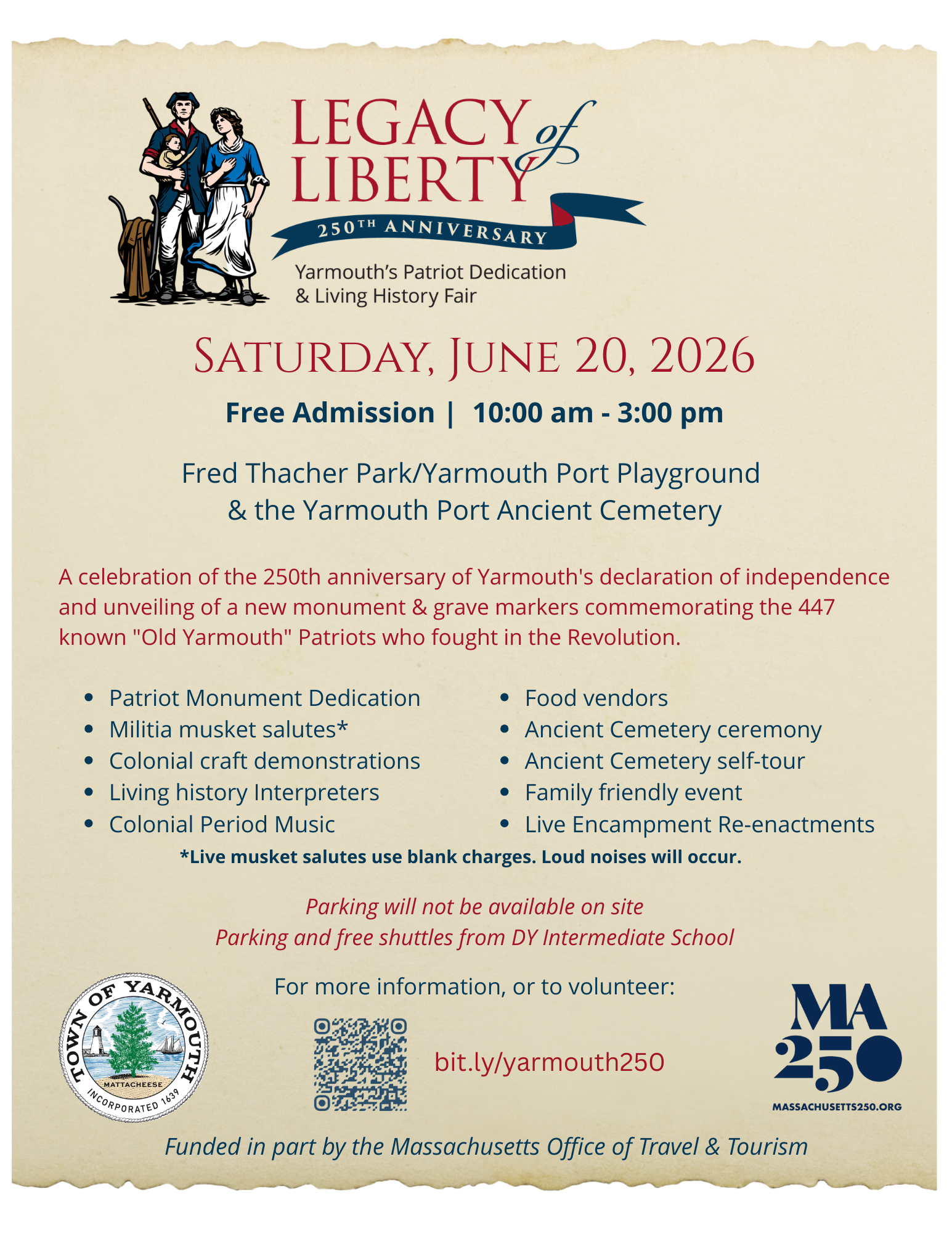
Please join us on June 20th at the Yarmouth Port playground as we honor the service of all Yarmouth men during the Revolution, on the 250th anniversary of Yarmouth declaring independence.